Description
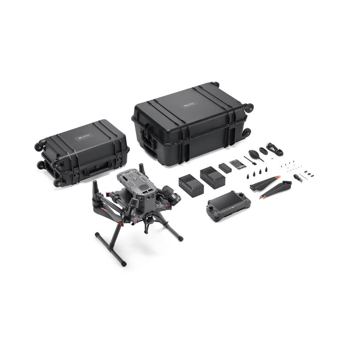
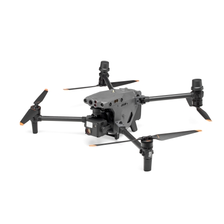
DJI Matrice 350 RTK – The Pinnacle of Commercial Drone Precision
Unmatched Accuracy for Professional Applications in Emergency and Industrial Contexts
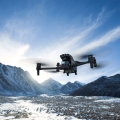
The DJI Matrice 350 RTK is engineered to meet the rigorous demands of high-stakes industries and critical emergency response needs that require pinpoint accuracy and utmost reliability. This commercial-grade drone is perfectly suited for surveying, mapping, precision agriculture, as well as emergency operations within the oil and gas sectors and for first responders, offering state-of-the-art RTK (Real-Time Kinematic) positioning technology to deliver centimeter-level accuracy.
Key Features:
- RTK Positioning: Experience unprecedented accuracy with the integrated RTK module that provides real-time, centimeter-level positioning data, ideal for geospatial data collection and complex surveying tasks.
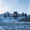
- Robust Build Quality: Constructed with durability in mind, the Matrice 350 RTK withstands challenging weather and environmental conditions, ensuring dependable performance under all circumstances.
- Advanced Flight Stability: Enhanced with DJI’s leading flight control algorithms, this drone offers superior stability and control for capturing high-precision data even in less-than-ideal flying conditions.
- Extended Operational Range: The high-capacity battery system extends the operational range and flight times, allowing you to execute longer missions with fewer interruptions for charging.
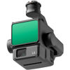
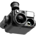
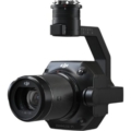
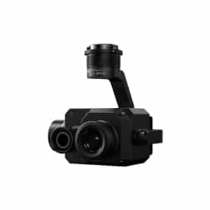
- Versatile Payload Options: Customize your drone with a variety of payloads, including multispectral sensors, high-definition cameras, and LiDAR sensors, all easily interchangeable to suit your specific project needs.
- Intelligent Flight Modes: Automated flight modes enable efficient data collection and mapping processes, reducing pilot workload and improving overall data consistency.
-
Safety and Reliability: Equipped with advanced obstacle detection and avoidance systems, along with a comprehensive health monitoring framework, the Matrice 350 RTK ensures safe operations every time.
Applications:
- Precision Mapping and Surveying: Achieve high-accuracy results in land surveying, topographic mapping, and cadastral surveys to support civil engineering and construction projects.
- Agricultural Insights: Utilize detailed aerial insights to manage crops, monitor soil and field conditions, and optimize agricultural operations for increased yield and reduced waste.
- Environmental Conservation: Monitor environmental changes accurately, track wildlife or assess water quality in sensitive habitats with minimal disturbance.
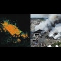
- Emergency Response and Industrial Monitoring: Rapidly deploy in emergency scenarios such as oil spills or natural disasters to provide critical data for response teams, or conduct regular inspections of oil and gas infrastructure to ensure safety and operational continuity.
Upgrade to the DJI Matrice 350 RTK for unparalleled precision and performance that can significantly enhance the productivity and efficiency of your professional tasks. Embrace the future of commercial drone technology today.


